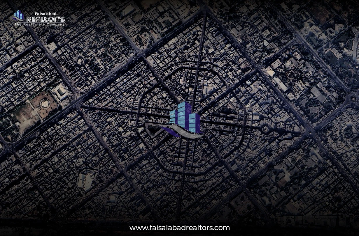
Imagine you want to buy a property or check farmland, but you cannot visit the place. No problem! Just open Google Maps Satellite View on your phone or computer, and you can see everything: land area, roads, and nearby places.
Google Map Satellite: | |
Google Maps App for Android: | https://play.google.com/store/apps/details?id=com.google.android.apps.maps |
Google Earth Pro (For Advanced Features): |
Google Maps Satellite and Google Earth Pro give you real images of land and property.
You can:
See the actual land condition (Is there a lake or graveyard nearby?)
Check agricultural land (Where are the trees, rivers, and soil types?)
Measure land size easily with Google Earth Pro (Find the exact area without visiting!)
View road access (Are there proper roads leading to the property?)
It’s super easy! Just follow these steps:
1. Open Google Earth Pro or Google Maps and search for the location.
2. Turn on Satellite View (so you can see clear details).
3. Right click on the map and select "Measure Distance." (On mobile, press and hold on the map, then tap "Measure distance.")
4. Click to set points around the land.
5. Google will automatically show the total area and distance. You can also see the live location on Google Maps.

🏡 Property Dealers: Check any property without visiting!
🌾 Farmers: Analyze soil and irrigation before farming!
📍 Investors: See if the location is good for investment!
🚜 Landowners: Keep track of your land from anywhere!
Google Maps is accurate, but it may not show updates if the land has changed recently. For better accuracy, you can also use:
Google Earth Pro – Offers advanced features for land study.
Local Land Records – Check official government maps for legal verification.
If you haven’t tried it yet, go to Google Maps Satellite and explore any land or property from your phone or computer. You might find something surprising.
Contact us for:
Are you looking for property in a developed and reliable area of Faisalabad? Nishatabad, also spelled as Nishat Abad. It is one of the city’s most well reputed and convenient areas of Faisalabad.
Faisalabad is one of the biggest cities in Pakistan. It is known for its growing industries, huge textile markets, and expanding infrastructure. There are many things to do there, but two places that have gotten a lot of attention lately...